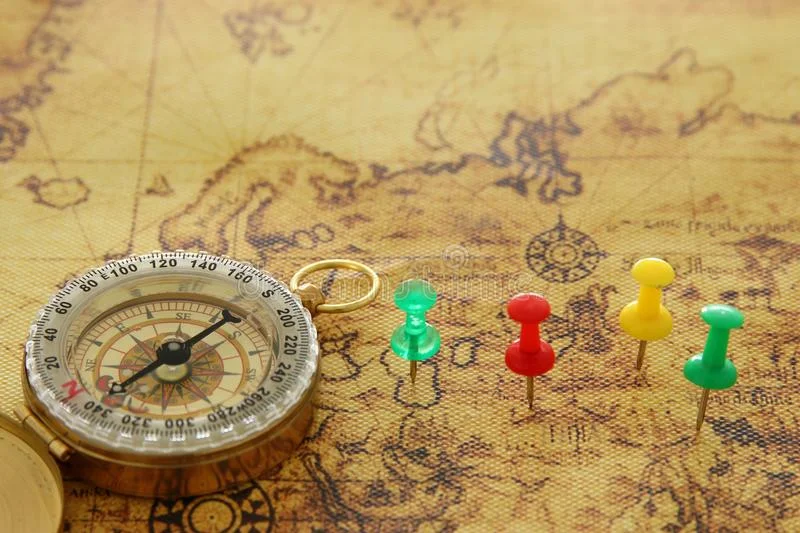
There was so much to see and do, but we needed a (flexible) plan

For an overview of the trip and an interactive map, see link - About the trip.
The first step was… where to start? Well we knew we were starting in London and would go across to France, but we needed some planning.
Our original plan was to go from Portsmouth, across to La Havre, France. We would travel up the Seine, through Paris and then south through the French canals and onto the Mediterranean. We had planned to take 6 months in the summer months to do this, taking our time to explore along the way.
While exploring and researching our route, we discovered https://maps.grade.de/ which gave us an overview of the waterways of Europe. While impressive and overwhelming, it was also clear that we could travel across Europe on the rivers and canals, all the way to the Black Sea.
So we quickly changed our route and our plans (and timeline).
We used the router application, Routino, available on this site and by playing around, adding points of interest and areas we wanted to explore, we were able to arrive at our route across Europe (which looks befuddled enough without the influence of those good French wines).
Routino is an application for finding a route between two points and calculates either the shortest or quickest route between these two points and for our trip we used Routino OpenSeaMap Router.
The planning of our first leg (we will be doing the trip in two halves) was easy, due to the information available online when looking to travel on canals and rivers. The site, French Waterways, outlines the eight main waterway regions of France with exceptionally detailed information of all the canals which include summaries, essential information and maps.
(Disclaimer: when I say “we” I really mean Patrick. My role in the planning was mainly from an approval/disapproval standpoint and less to do with waypoints and co-ordinates).